Land, Systems & Change
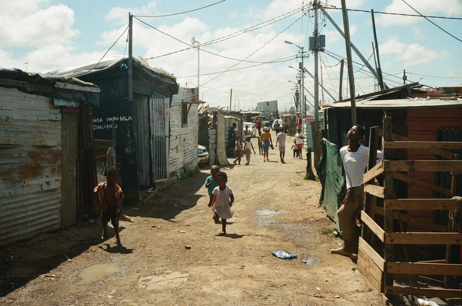
Policies are written in conference rooms and capital cities. I've become interested in the moment they reach the ground. On my field course in South Africa, that interest stopped being abstract. Apartheid ended within my parents' lifetime, and its effects are still visible in the infrastructure, the inequality, the health outcomes, and the daily geography of places we visited from Cape Town to Johannesburg. History wasn't something we read about and then left behind. It was in the ground we were standing on. Once you see a political system that way, as something that settles into land and routines and bodies, you can't unsee it.
Geography gave me the tools to work on that question. Not just GIS, though mapping is part of it, but the habit of asking where. Where does this decision land? Who lives closest to the consequences? Who was consulted, and who found out afterward?
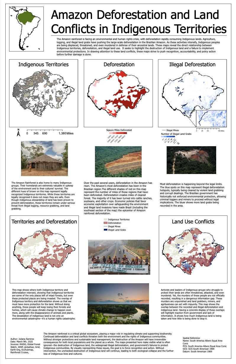
The first project where that came together was a map of the Brazilian Amazon I made in my cartography course, layering Indigenous territories against deforestation, illegal mining, and land grabs. Finding the Thread tells that story, so I won't repeat it here, except to say the map was about exactly this: what governance failures look like when you put them on land people actually live on.
Mapping Indigenous territories, deforestation, and land conflicts in the Brazilian Amazon
My current research extends the same question forward. With a $5,000 University of Denver research grant and Dr. Nicole Herzog as my mentor, I'm analyzing digital archives from Indigenous organizations, including APIB, ANMIGA, and the Kayapó Project, to understand how Indigenous leaders used the run-up to COP30 to advance environmental goals on their own terms. The project is in progress, and I'm being careful with it, both because the methodology has to be non-extractive and because these organizations are doing the work and controlling their own representation while they do it. My job is to pay attention to both.
What ties this body of work together is simple to say and hard to do: systems are real in the places where people live with them. The people who live closest usually know first.
A township visit during my South Africa field course.
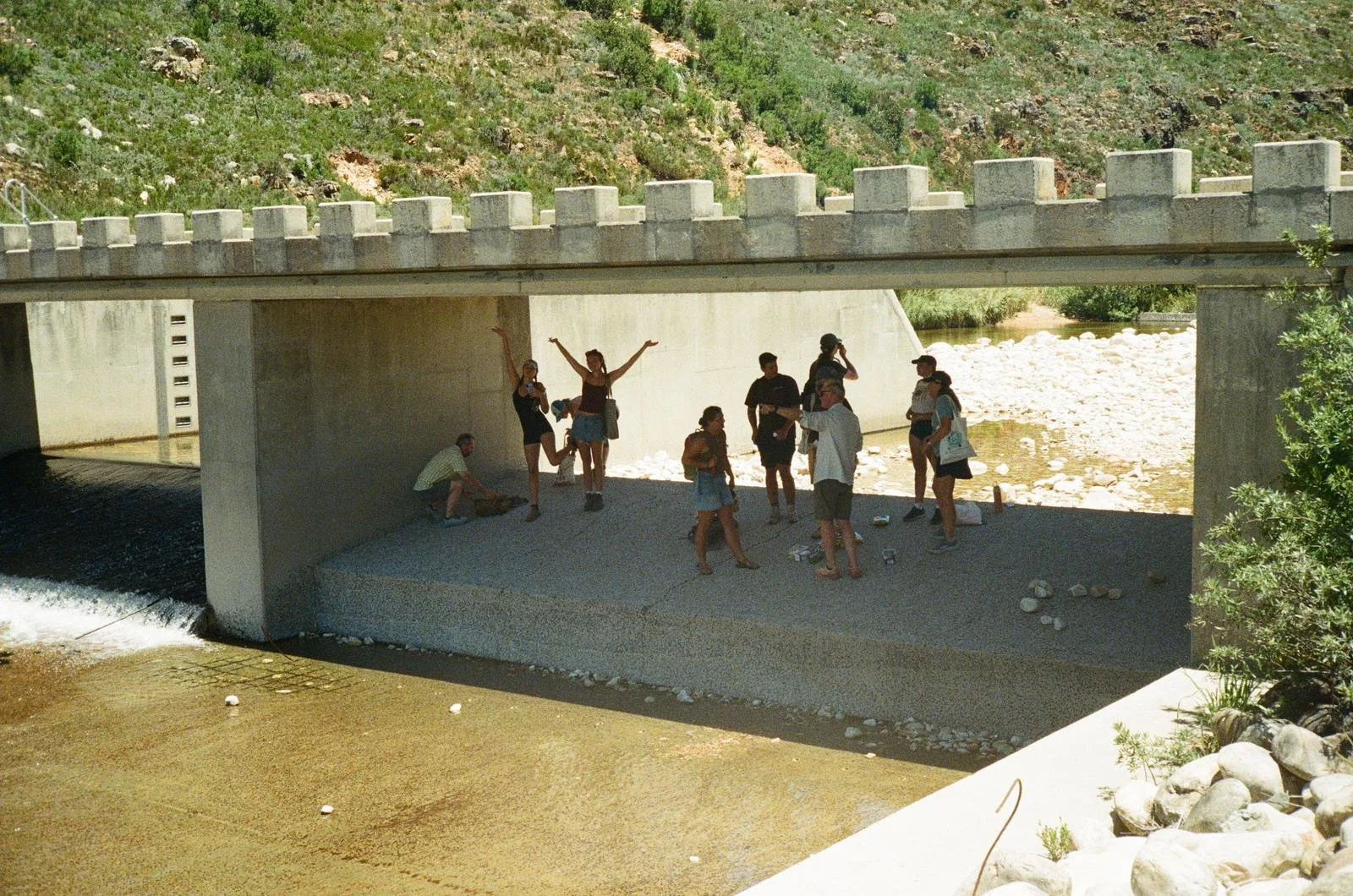
Photo by Niall Doherty
Visiting a dam to examine water levels and discuss “Day Zero” water crisis
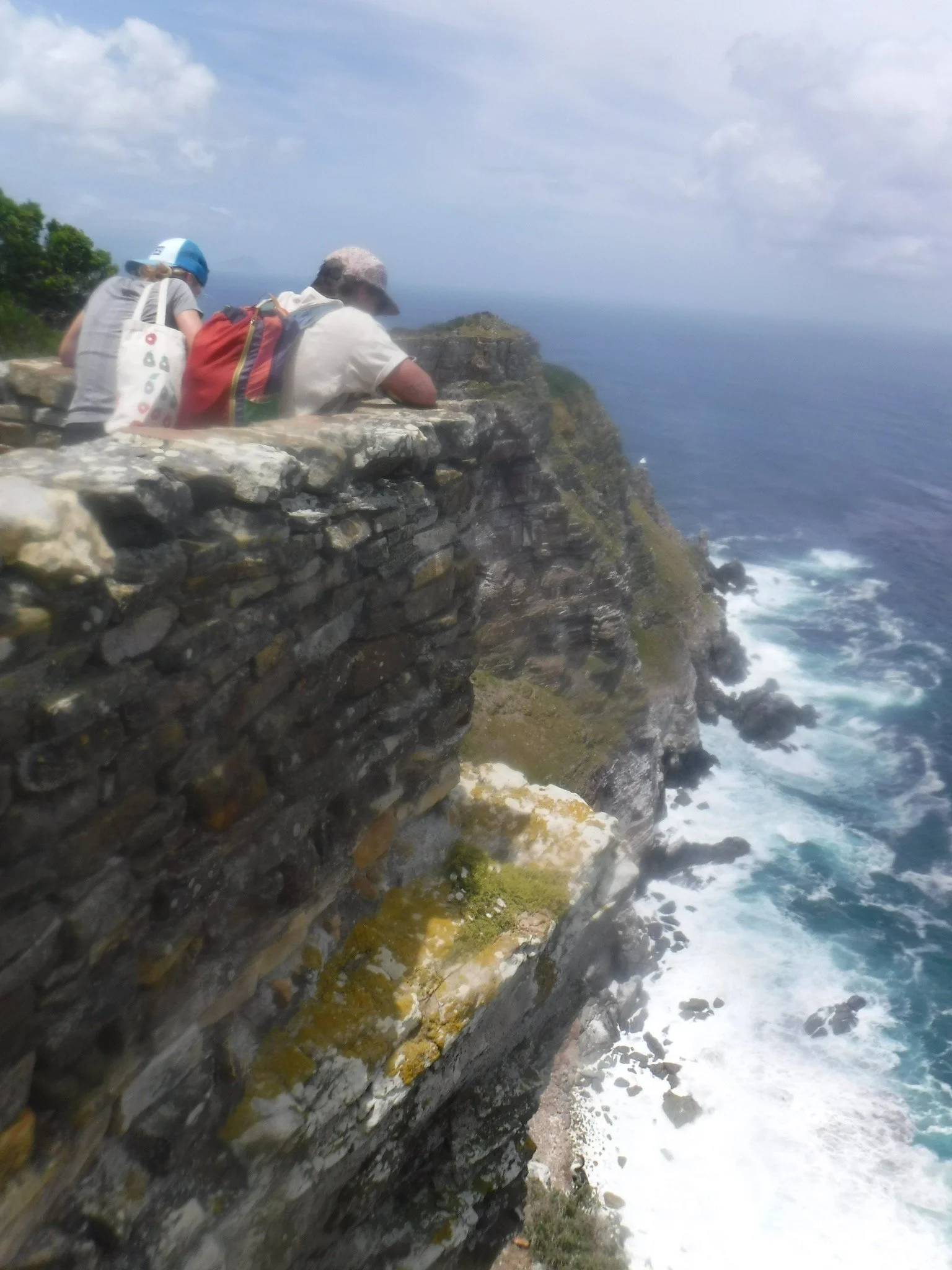
At the Cape of Good Hope during my South Africa field course.